People
Families, residents and the lives of people connected with Pictou Island.
Andrea Rankin Sibley collectionExplore People Virtual Museum
Pictou Island Heritage Society · Virtual Museum
Preserving and sharing the history, stories, places and people of Pictou Island.
This Week in Pictou Island History
Published Island-level data records 59 residents, 116 cultivated acres and mixed crops and livestock. It is 1827 data published by Haliburton in 1829, not an 1828 census.
From the Island’s history. This account is dated to a year or period, rather than this calendar week.
Explore the Timeline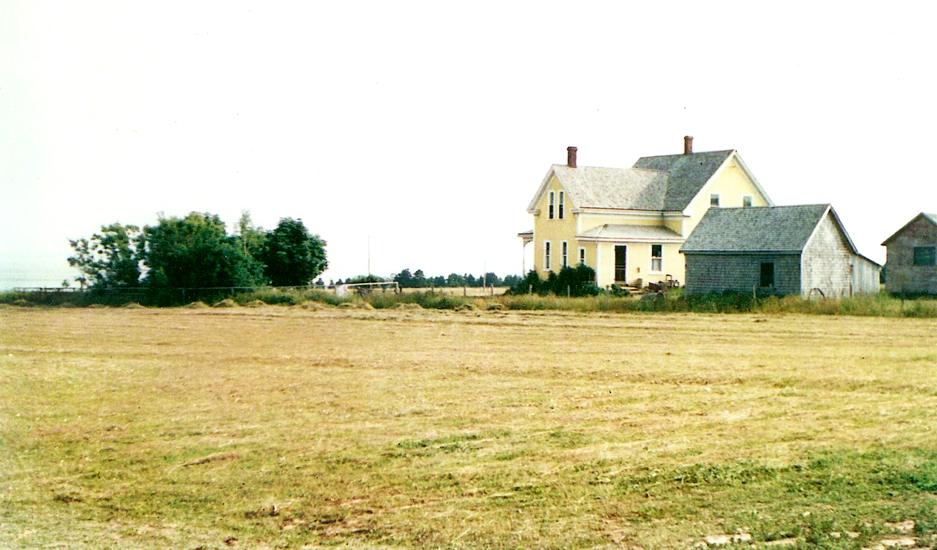
Featured Article
A newspaper, a book, census entries and an Islander’s recollection illuminate the place of Gaelic in Island life.
Read the Article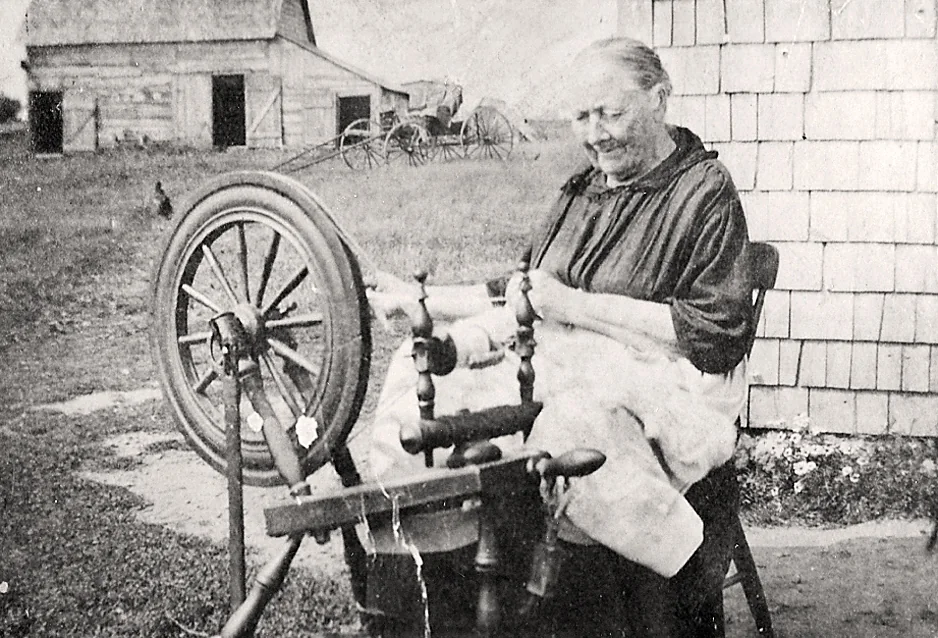
Featured Exhibit
How Pictou Island was known, named, mapped, granted, occupied under tenancy and transformed by resident ownership
Explore the ExhibitView All Exhibits
An Island life
William Creighton “Bill Cole” MacDonald was part of a Pictou Island family whose story connects military service, lighthouse keeping and later Island community life.
Read the BiographyBrowse all biographiesExplore the Island
Explore the confirmed and source-qualified vessel stories around the Island.
Explore This MapBrowse the Historical Atlas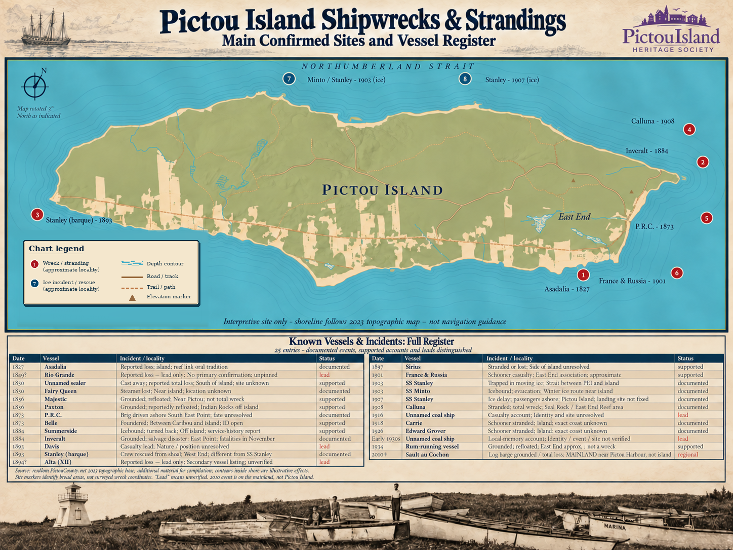
From the Collection · Photograph of the Week
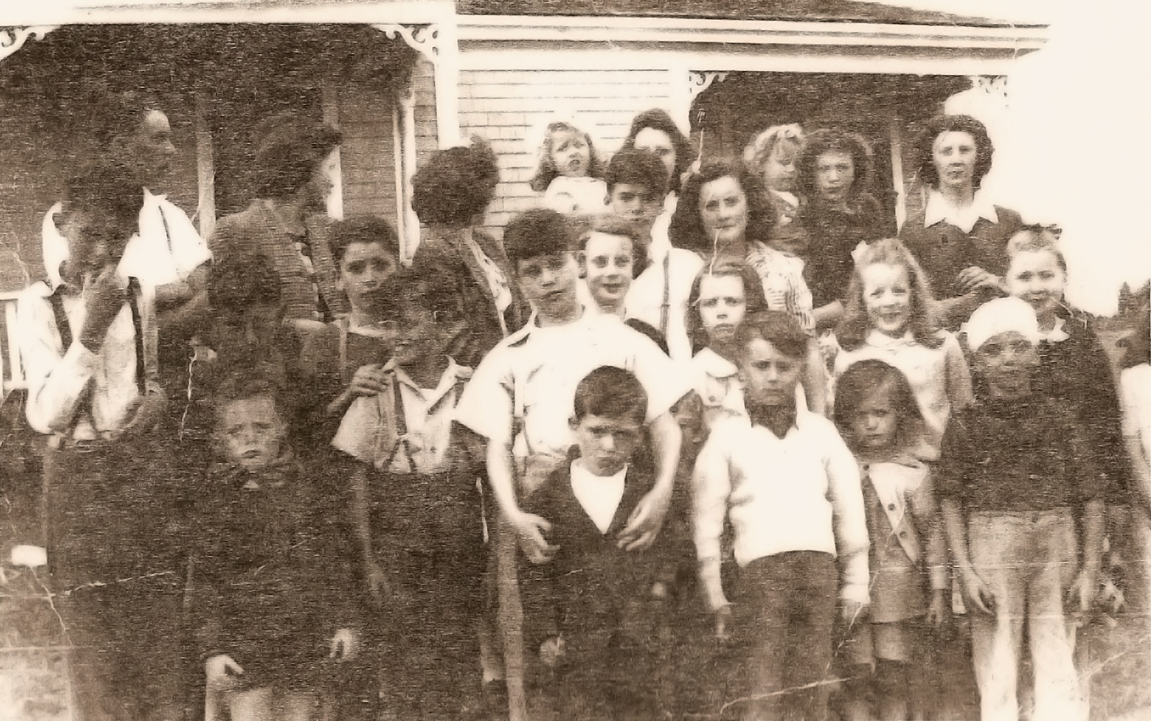
A large family group from the Hooper and MacLean families. Identifications supplied with the Andrea Rankin Sibley collection accompany this family photograph.
View the PhotographExplore Family & Community Collections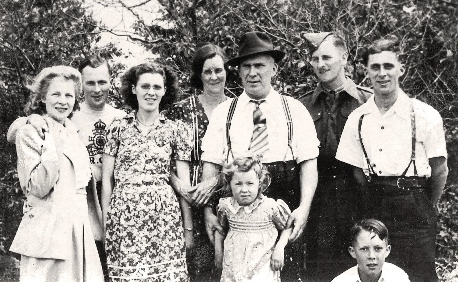
Families, residents and the lives of people connected with Pictou Island.
Andrea Rankin Sibley collectionExplore People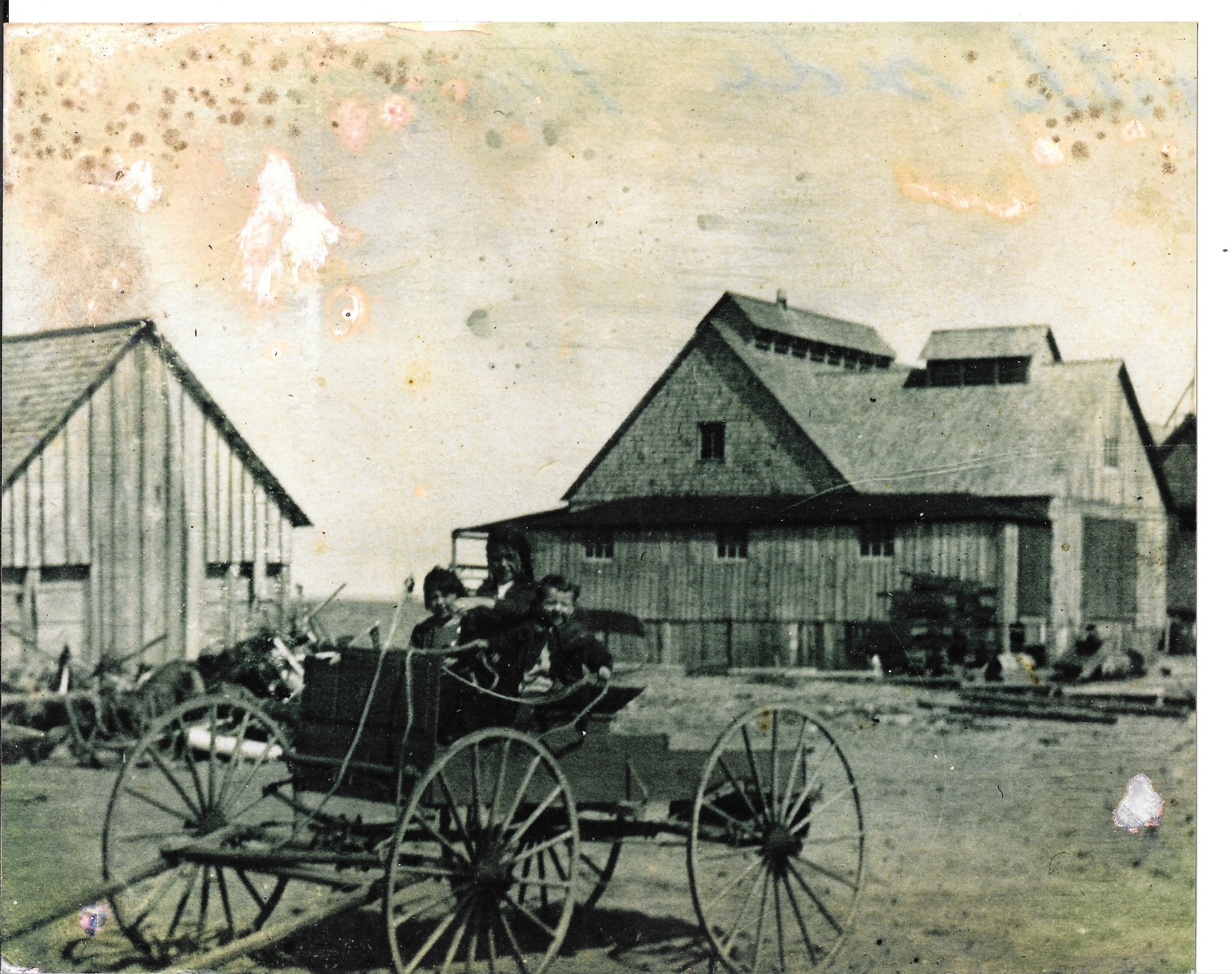
Roads, coves, buildings, cemeteries, community sites and changing landscapes.
Ray Hayman / PIHS collectionExplore Places
Explore larger stories and themes from Pictou Island’s history.
PIHS collectionBrowse ExhibitsPIHS is a volunteer organization made possible by the time and effort of its board, members and community volunteers. The upkeep of Pictou Island’s heritage sites is ongoing. We greatly appreciate everyone who helps with this annual work.
PIHS is not a registered charity and does not issue tax receipts.