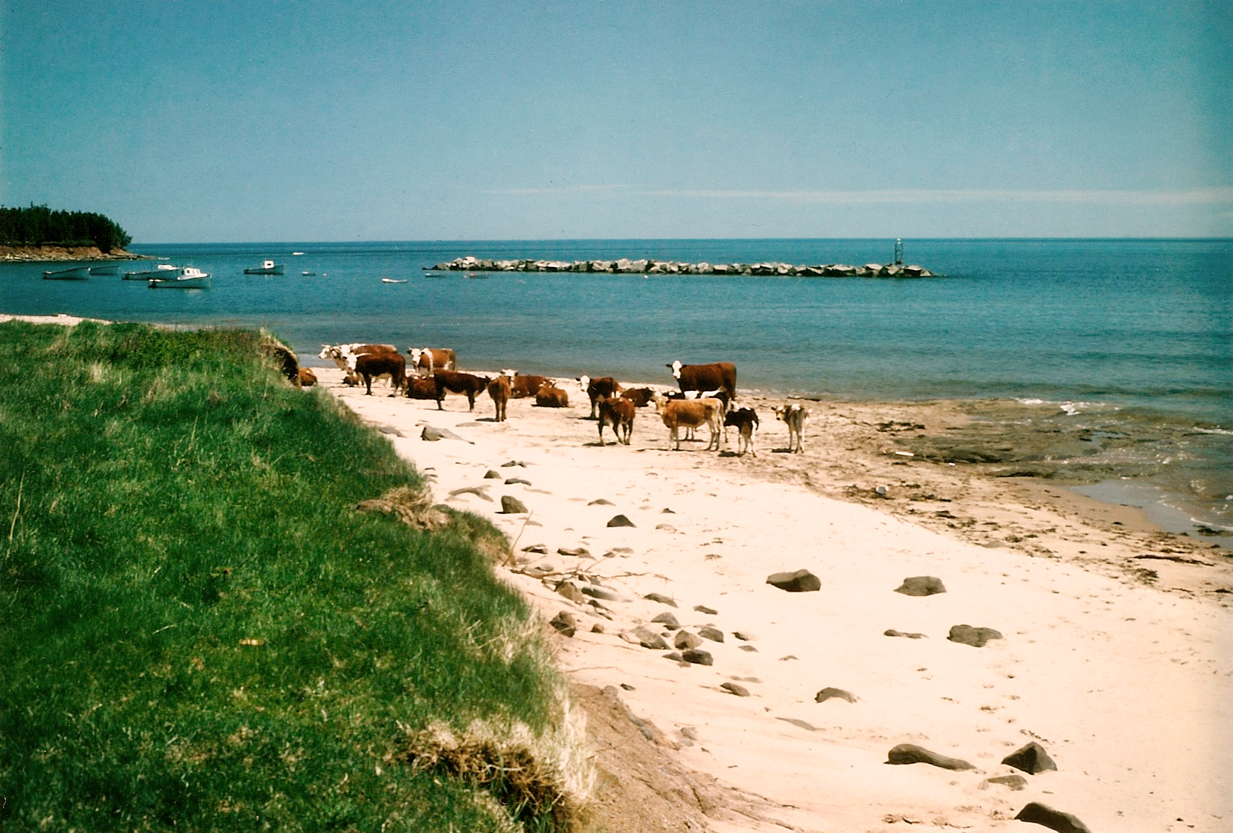
Settlement & place
An island within Mi'kmaq marine geography
Pictou Island belongs to a wider Mi'kmaq geography of waterways, islands and seasonal movement that cannot be reduced to the later European names on maps.
 Virtual Museum
PICTOU ISLAND HERITAGE SOCIETY · VIRTUAL MUSEUM
Follow the island's history across names, maps, settlement, work, community life, connection and the living island today.
A chronological way into the museum
Explore Pictou Island's history through time, from the island's earliest recorded names and maps through settlement, community life, work and the living island today. Follow individual events into the exhibits, places and stories of the Pictou Island Virtual Museum.
01
Settlement & place
Pictou Island belongs to a wider Mi'kmaq geography of waterways, islands and seasonal movement that cannot be reduced to the later European names on maps.
Maps & naming
Denys's account provides an early European record of the Pictou area and its water routes; it is not evidence of permanent settlement on Pictou Island.
Land & naming
Published evidence records a 1765 grant whose boundary included Pictou Island. The original instrument still needs to be read alongside the later land record.
Land & naming
The 1770 escheat is a legal-land milestone, not evidence of permanent settlement on the island.
Maps & naming
French naming and later British cartography preserve changing ways of describing the island and the surrounding Strait.
02
Land & settlement
The island was surveyed and granted in the Cochrane sequence. A grant records title and administration; it does not by itself prove settlement.
Land & settlement
Later county history associates the island with the Boyd, Hogan and Morris families from 1814 onward. The account is retained with its limits rather than treated as one founding moment.
Land & settlement
A longer-lasting Scottish settlement stream begins around 1819, followed by the formation of a mature community through arrivals, departures, landholding and family networks.
Population & work
The surviving island-level figure records 59 residents and 116 cultivated acres, providing an early measure of an organized community.
Population & work
The restored primary census control records 17 household heads and 119 residents, showing community growth without implying a complete genealogy.
Land & settlement
After the Cochrane land sequence, residents were sold land in lots that helped turn legal ownership into family property and a durable community landscape.
03
Maritime
The East station was nearly complete by November 1853 and an operating light is reported in the 1854 record. The precise first-light date remains distinct from the construction milestone.
Transportation
Petitions, estimates and later allocations document the continuing effort to provide a public landing place and safer access across the Strait.
Fisheries & work
The surviving evidence places processing operations in the 1870s while leaving the identity of one uncontested first factory unresolved.
Fisheries & work
The evidence places commercial lobster fishing within the island's working economy while also showing that families combined fishing with farming and other work.
Maritime
A sudden gale overturned a boat during the salvage effort; eight men died. Island crews rescued survivors and several islanders were later recognized for their actions.
Maritime
The station formalized the island's role in responding to vessels and people in danger in the surrounding waters.
Fisheries & work
Federal evidence places the Bay View hatchery in 1891; later records connect it with eggs collected from island canneries.
Maritime
The controlled appointment date is 8 November 1892, linking lighthouse service with island family and working life.
Fisheries & work
The return records several factory contexts and operators. It does not establish four separate companies or prove that all sites operated simultaneously.
Maritime
The vessel belongs to the broader wreck and navigation history; it is included here as a significant maritime milestone, not as a complete casualty register.
Language & community
A Gaelic reading record, Gaelic-book provenance and the 1901 census place Gaelic within island life without proving every person's fluency or daily language use.
04
Fisheries & work
The fisheries return for 1903 is the controlling evidence for this milestone. It should not be replaced by inherited claims of five simultaneous factories.
Transportation
Winter reports show how island wharves, dories, factories and local knowledge supported movement when the usual route across the Strait failed.
Maritime
The West light enters the early twentieth-century navigation system, while the permanent South/Wharf light is operating for the opening of navigation in 1907.
Community
Passengers from the icebound Stanley reached the island and remained with island families; a travelling comedy troupe staged a performance in the post office.
Maritime
The casualty is retained as a significant, dated maritime event; the exact relationship to the East End reef locality remains qualified in the detailed record.
Maritime
The station's closure marks a change in the formal rescue system, while local knowledge and island crews remained part of the surrounding maritime story.
Communication
The communications chronology centres on 1921. Later inherited claims that the first cable arrived in 1926 are not used.
Population & community
The controlled population figure is 228. It is presented as a verified population point, not as proof of an absolute all-time peak.
Fisheries & work
The evidence places the end of lobster canning between 1923 and 1926; the last fish packing is separately recorded in 1926. Fishing itself continued after the factories declined.
Communication
The return of C.G.S. Tyrian connects the island's communications history with the practical maintenance of a submarine cable system.
Population & community
The official count is retained separately from the larger working set of enumerated person-lines, which includes temporary non-residents and is not used as a population total.
Transportation
The island's relationship with mainland services and travel continued to change through the interwar period, while family and community life remained island-based.
Transportation
The newlyweds' flight is dated to 28 February 1949, not 1948. It belongs to the island's growing history of air and mainland connection.
05
Community change
Transportation, communication, schooling and fisheries changed together. No single invention or industry explains the later population decline.
Population & community
The post-war population decline affected schools, services, households and work. It was a long restructuring rather than one single event.
Maritime & technology
The West light is reported automatic in 1962, while the East station's transition is retained with its own qualification in the detailed lighthouse history.
Education
The controlled chronology distinguishes the end of regular classes in 1971 from the broader education transition that continued into 1972.
Population & community
The figure marks the depth of post-war contraction, not the end of the island community. Later residence, return, fishing and seasonal connection continued.
06
Community change
Family homes, return visits, fishing ties and changing work patterns kept the island connected even as the permanent population became smaller.
Faith & memory
Photographs, buildings, cemeteries, oral histories and surviving objects increasingly carry the work of documenting a changing community.
07
Living island
Pictou Island continues through permanent residents, seasonal families, fishers, visitors, descendants, community work and stewardship.
Heritage & stewardship
The surviving tower's heritage status preserves a public connection to the island's navigation history even as its navigational service changes.
Fisheries & work
Under current local-history control, 2024 marks the end of the traditional buying-smack service at the Pictou Island wharf.
Heritage & stewardship
The listed navigational service ends, while the tower remains a heritage place and part of the island's public memory.