
Pioneer Cemetery · Visitor guide
Cemetery Map
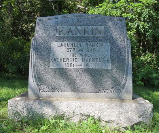
Explore surviving markers, photographs, inscriptions and family connections in the Pioneer Cemetery records.
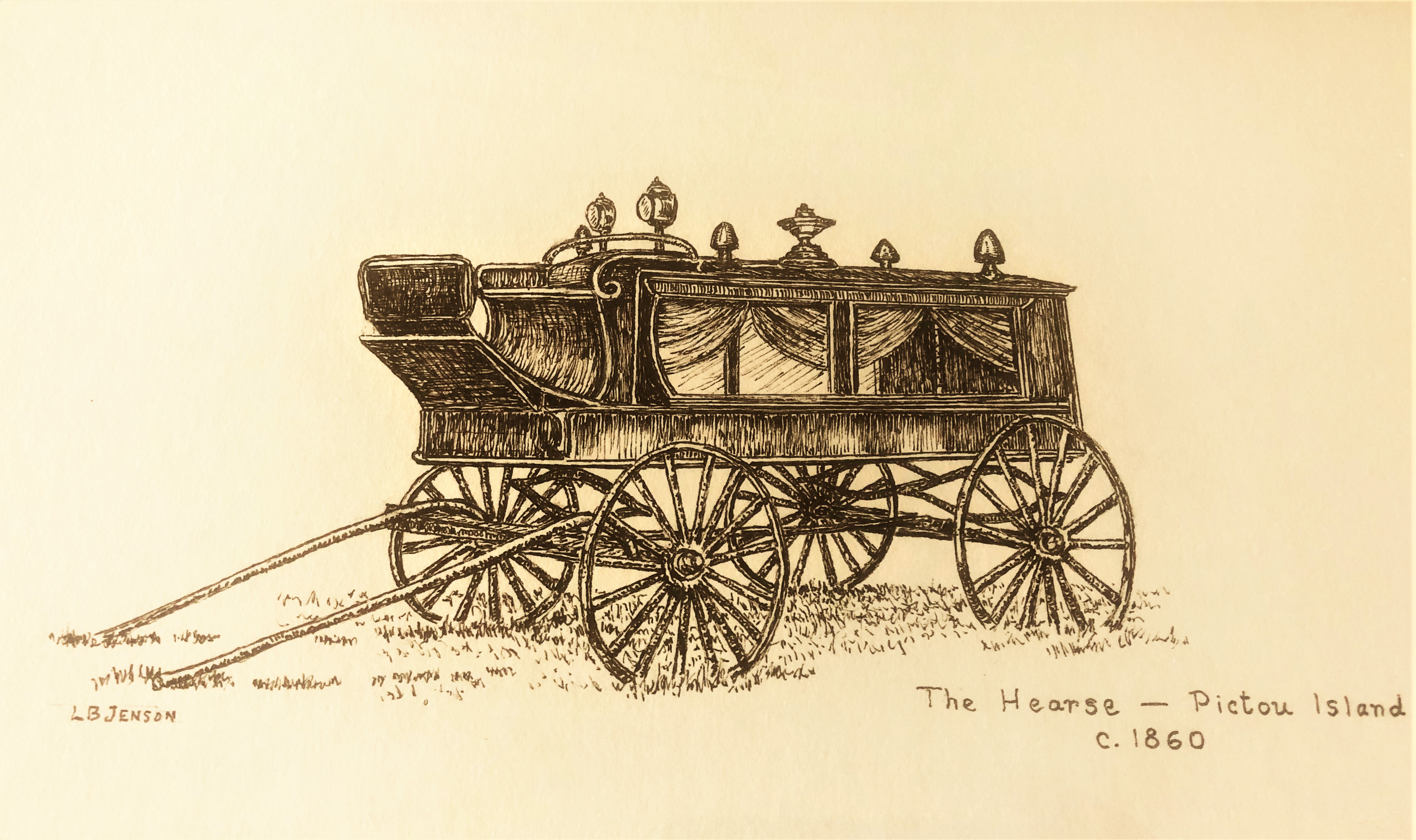
Illustration: L. B. Jenson · PIHS collectionWho—or what stone—are you looking for?
Search a name or choose a family to explore photographs and stories. Matching photographs and records appear beside the map.
75 matching memorials. The photo browser updates below.
PIHS Pioneer Cemetery — reconstructed field layout
Explore the cemetery’s surviving stones and small markers. Select a stone or photograph to open its record.
Positions are reconstructed by comparing the field plan with the record photographs and the memorials visible behind them. This is an interpretive historical layout, not a land survey or GPS guide. Rows run north–south and the stones face east. The entrance road approaches from the south and meets Row 2 at the Hooper stone, the first stone encountered; its course is schematic. Small markers may be footstones or plot-corner markers; they do not necessarily mark separate burials. Stone forms follow the photographs; scenery and displayed sizes are illustrative. Additional field-plan details open photographs for that part of the layout.