
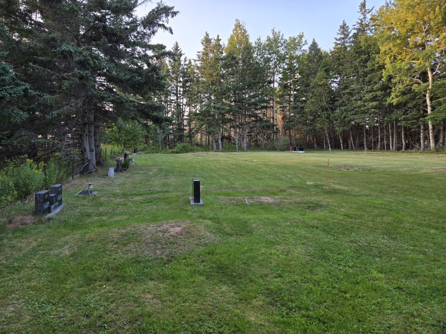
Church Cemetery behind Sutherland Memorial Church

Church Cemetery · Visitor guide

Church Cemetery Explorer

A photo-informed guide to the memorials, names and family connections recorded behind Sutherland Memorial Church.

Map first · 24 memorial records

Who is remembered here?

Choose a marker, search a name, or follow a documented connection. One stone may name two or more people; the map marker represents the memorial record, not a grave number.

24 matching memorial records.

Sutherland Memorial Church Cemetery — Reconstructed Memorial Map

Explore current memorials and two records preserved in the historical survey.

Reconstructed source plan · select a memorial
Sutherland Memorial Church Cemetery — Reconstructed Memorial MapWestEastSouthNorthRow 1Row 2Row 3Row 4Row 5Row 6Empty historic laneRow 7Sutherland Memorial Church · south · schematic symbolSutherland Memorial ChurchSouth · schematic symbolHenry MacDonald · Current memorial · schematic locationC-001Archibald Thatcher & Charlotte Margaret MacDonald · Current memorial · schematic locationC-002Howard E. & Jessie M. MacCallum · Current memorial · schematic locationC-003Bennett family memorial · Current memorial · schematic locationC-004Janetta May MacDonald Volpe · Current memorial · schematic locationC-005William Creighton MacDonald & Willena B. MacCallum · Current memorial · schematic locationC-006Arnold S. & H. Lorraine MacMillan · Current memorial · schematic locationC-007Cathy Marie Chesnutt · Current memorial · schematic locationC-008John Thomas & Eva Harriet Munro · Current memorial · schematic locationC-009Donald William & Jane Ann MacMillan · Current memorial · schematic locationC-010Lorne Ballem MacMillan · Current memorial · schematic locationC-011Arthur Roy MacCallum & Catherine A. MacDonald · Current memorial · location reconstructed from the early-2000s cemetery surveyC-012Lauchie “Punch” Patterson — historic survey memorial · Recorded in the early-2000s cemetery survey · current physical status being recheckedROOTS-060James Ward & Dolina Maud MacCallum — historic survey memorial · Recorded in the early-2000s cemetery survey · current physical status being recheckedROOTS-068Joyce MacLean · Current memorial · location reconstructed from the early-2000s cemetery surveyC-014John H. & Margaret Ann MacLean · Current memorial · location reconstructed from the early-2000s cemetery surveyC-013Flossie MacDonald · Current memorial · location reconstructed from the early-2000s cemetery surveyC-015Florence & Andrew “Happy” MacDonald · Current memorial · location reconstructed from the early-2000s cemetery surveyC-016James D. MacDonald & Lavina M. Glover · Current memorial · location reconstructed from the early-2000s cemetery surveyC-017Lavina Jean MacCallum · Current memorial · location reconstructed from the early-2000s cemetery surveyC-018Chester R. MacCallum · Current memorial · location reconstructed from the early-2000s cemetery surveyC-019Ernest E. & Florence J. Rankin · Current memorial · location reconstructed from the early-2000s cemetery surveyC-022Elwood C. Rankin; Joan L. Rankin spouse reference · Approximate placement near the Rankin group, based on the PIHS Rankin group photograph; not surveyed.C-020 ≈Robert G. Rankin · Approximate placement near the Rankin group, based on the PIHS Rankin group photograph; not surveyed.C-021 ≈

This map is reconstructed from PIHS field photographs and an early-2000s Pictou County Roots Society cemetery survey. The source plan runs South to North from left to right and West to East from top to bottom. Marker positions show documented row order and relative placement; they are not survey coordinates. The isometric view projects the same source positions; marker forms follow the photographs, with schematic dimensions. Grass, trees and the church symbol are illustrative, not a surveyed landscape. The church is shown on the south side following the PIHS correction. Marker IDs identify memorial records, not grave numbers. Row 6 is intentionally empty. C-020 and C-021 have dashed approximate display placements beside the Rankin group, based on the PIHS Rankin group photograph; no historical grid row or surveyed coordinate is assigned.